Floodplain pain
Calculating absolute and relative Special Flood Hazard Area for Texas land parcels.
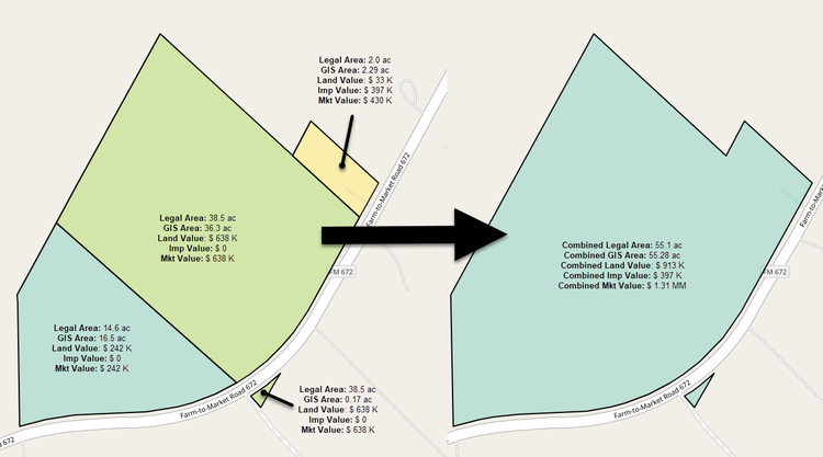
Contiguously(ish) owned land
Identify and aggregate land parcels that are either contiguous or nearby and share common ownership attributes using PySAL and NetworkX.
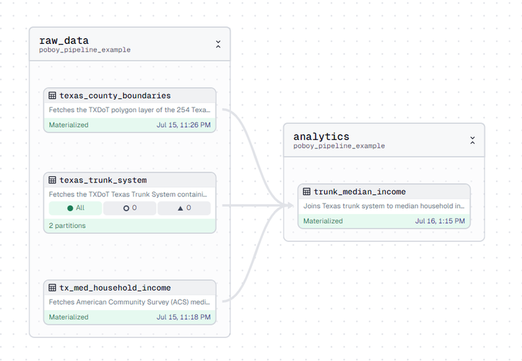
Building a po' boy's spatial data pipeline from scratch with Dagster, GeoParquet, & R2
Here I build a simple geospatial data pipeline to fetch data from ArcGIS Feature Servers and write / read it to GeoParquet in Cloudflare R2.
Mapping National Weather Service hazards with Fused & H3
Here we use Fused.io to fetch current NWS hazards, fill them with H3 cells, and produce a serverless endpoint anyone can call.
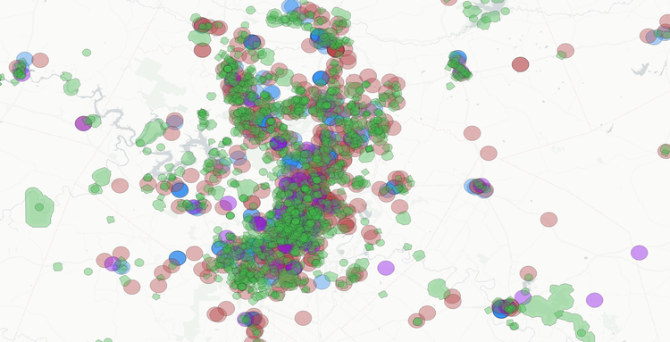
Proximity & overlay analysis for upstream site selection
I use basic proximity & overlay tools in QGIS to narrow 899,214 low-probability land parcels into 1,329 potential winners.
Time is money, they say
The "time value of money" and how to use it to make wiser investment decisions.